How Satellite Messaging Devices Like Garmin inReach Are Filling the Dead-Zone Communication Gap That Smartphones Cannot Cover in Remote Travel
David Park
09/15/2026
5 min read
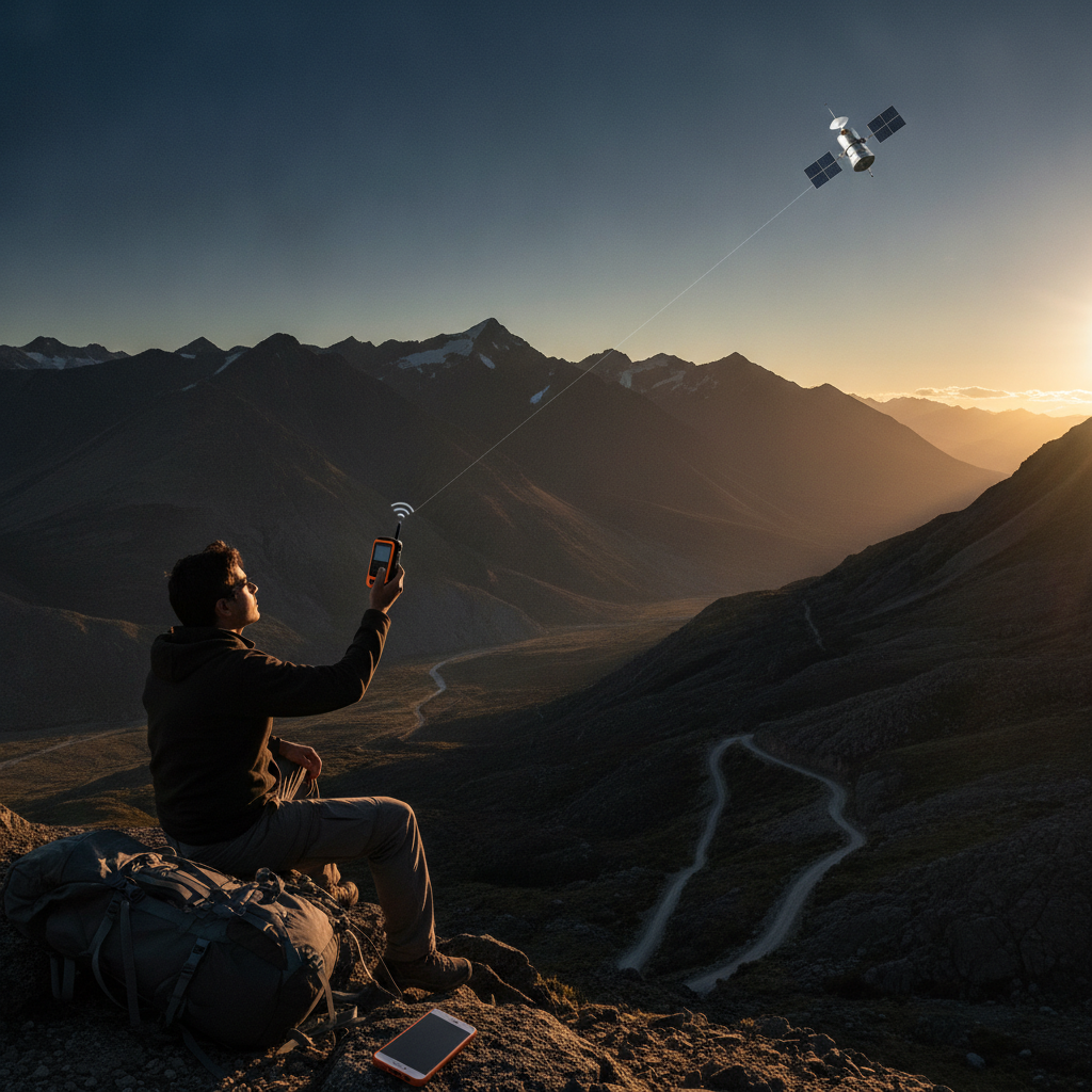
Cellular coverage has expanded dramatically over the past decade, but it has not expanded everywhere — and for travelers who venture into genuinely remote terrain, that gap between where phones work and where people go remains one of the most consequential limitations in modern travel technology. Satellite messaging devices have stepped into that space with quiet efficiency, offering a layer of communication infrastructure that operates entirely independently of cell towers, carrier agreements, and urban grid logic. Devices like the Garmin inReach Mini 2 and the SPOT X have moved from niche expedition tools to practical companions for hikers, overlanders, offshore sailors, and backcountry skiers who understand that being unreachable is not the same as being safe.
The Infrastructure Gap Smartphones Cannot Close
Smartphones are extraordinary travel tools, but their communication capability is entirely dependent on terrestrial infrastructure — towers, relays, and carrier networks that simply do not exist in most wilderness areas, open ocean corridors, or high-altitude terrain. The Atacama Desert, the Canadian Rockies above the treeline, and the remote coastal stretches of Norway's Lofoten Islands all share one characteristic: no signal. Satellite messaging devices bypass this limitation entirely by communicating directly with orbiting satellite networks — Iridium, in the case of Garmin's inReach lineup — which provide genuine global coverage regardless of whether a cell tower exists within a hundred miles.
How Satellite Messaging Actually Works in the Field
Unlike satellite phones, which require a clear sky view and can be expensive to operate, modern satellite messengers are compact, low-power devices that send compressed text messages and GPS coordinates through dedicated satellite constellations. The Garmin inReach ecosystem, for example, allows two-way text messaging, live tracking that shares a traveler's position on a public or private map link, and direct triggering of an interactive SOS system connected to GEOS International Emergency Response. Messages route through satellites and arrive at any phone number or email address as readable texts, meaning the recipient does not need any special hardware to receive communication from someone in a canyon in Utah or on a remote ridge in Patagonia.
The SOS Function That Separates These Devices From Every Alternative
Personal locator beacons have existed for decades, but they offer only one-way emergency signaling — you trigger them, and rescue services receive your coordinates with no ability to communicate back. Satellite messengers changed that equation by enabling two-way interaction during an emergency, which allows rescue coordinators to assess the situation, confirm the number of people involved, and share an estimated response time before help arrives. Garmin's inReach SOS function connects directly to a staffed emergency coordination center that operates continuously, and the confirmation messages it returns can meaningfully reduce panic during an already stressful event. That interactive capacity is the feature that has made these devices genuinely life-saving in documented rescues across Alaska, the Alps, and remote parts of New Zealand's South Island.
Subscription Models and the True Cost of Remote Coverage
Satellite messaging devices carry both a hardware cost and a recurring subscription, which is worth understanding before committing to a specific device. Garmin's inReach plans range from lightweight annual safety plans with a limited monthly message allowance to unlimited plans suited for extended expedition use, and the company also offers freedom plans that allow activation only during months of active travel. SPOT's model follows a similar structure, though its satellite network differs. For travelers who go remote occasionally rather than constantly, the flexibility of pause-and-resume subscription options makes the ongoing cost reasonable when measured against the alternative — which is traveling without any communication option at all in places where emergencies do not wait for better signal.
Pairing Satellite Messengers With Smartphones for a Complete System
Satellite devices are not smartphone replacements — they work best as a communication layer that activates where phones fail. The Garmin inReach pairs with the Earthmate app via Bluetooth, allowing travelers to compose messages on a full smartphone keyboard, view topographic maps cached for offline use, and monitor weather forecasts pulled through the satellite connection. That pairing logic mirrors how experienced remote travelers think about their tech stack: offline navigation apps like Gaia GPS or Maps.me handle route-finding, while the satellite device handles communication and emergency signaling. Together, they create a system far more capable than either tool alone, covering the full range of needs from casual trail navigation to genuine crisis response.
Choosing the Right Device for Your Travel Style
If you spend most of your remote time on day hikes close to trailheads, a basic personal locator beacon may be sufficient. But if you regularly travel in areas where a twisted ankle or an unexpected weather event could strand you for more than a few hours, a two-way satellite messenger makes a meaningful difference. The Garmin inReach Mini 2 is compact enough to clip to a pack strap and light enough to forget it's there — which is exactly the kind of gear that actually gets carried. The SPOT X offers a built-in keyboard for those who prefer not to rely on a paired phone. Whichever device you choose, the subscription tier should match your actual usage pattern rather than the most ambitious trip you might theoretically take.
The cellular network will keep expanding, and eventually it may reach more of the places travelers love most. Until then, the gap between where smartphones work and where people travel remains real, and satellite messaging technology has become the most practical way to fill it. For anyone who has stood in a stunning, remote location and felt the quiet unease of being completely unreachable, that peace of mind has a very clear value — one that a compact device clipped to a shoulder strap can now reliably provide.
More Trending Articles
What First-Time Visitors to Faroe Islands Consistently Underestimate About Weather Windows, Permit Requirements, and Getting Between Islands Without a Rental Car
Robert Kim
10/04/2026